
Atria module · satellite, aircraft and SAR
Atria Vision
Atria's geospatial vision module. Computer vision models that detect and identify aircraft, vehicles and vessels by model, track mass movements and search the agency's image archive.
- Optical and SAR
- Satellite, aircraft and drone
- The agency's catalogue
- Inside Atria
Capabilities
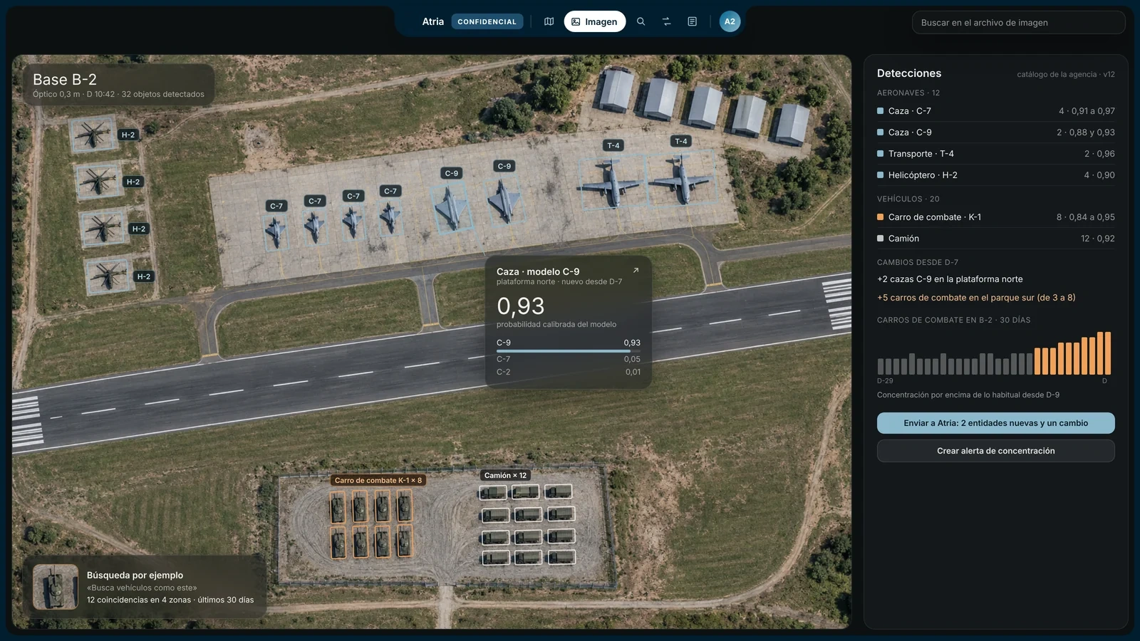
Models that detect, identify and search in imagery
The models send every detection to Atria with its position, time, probability and marking.
Aircraft by model
Detection and identification of the model on aprons, shelters and runways, with its probability.
Tanks and vehicles by model
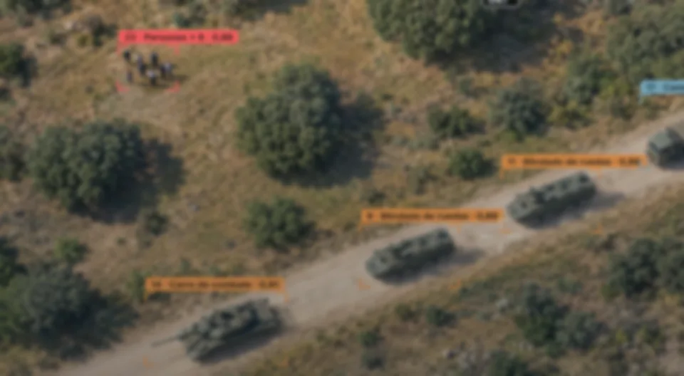
Battle tanks, armoured vehicles, artillery, launchers and trucks, by type and by model.
Vessels by class
In optical and SAR, by day, by night and through cloud, cross-referenced with AIS tracks.
Troops and people
People and groups in drone and aerial imagery; in satellite imagery, formations, camps and vehicles.
Mass movements
Counts by area and date, unusual concentrations and moving columns.
Object search
With a sample crop or a sentence: «hangars with open doors at this base».
Buildings and streets
Extraction of buildings, streets, bridges and infrastructure, and search by shape.
Geolocation
The model estimates where a photograph was taken from buildings, streets and terrain.
Analysis
The analyst searches the archive and sees changes between dates
Search
By example and by text
The analyst searches the image archive with a sample crop or a sentence, with Atria's access filter.
Changes
Between two dates
The model compares images of the same area: new construction, damage, vehicles arriving or leaving.
Mass movements
Concentrations and columns
Counts by area and date, and tracking of columns in video, with alerts in Atria.
Geolocation. From buildings, streets and terrain, the model proposes where a photograph was taken and with what margin of error, and the analyst checks it on the map.
From sensor to Atria
Every detection reaches Atria with its marking
Image
Capture
Optical and SAR satellite, aircraft or drone, in NATO formats.
Detection
Model
The model locates aircraft, vehicles, vessels and people.
Identification
Catalogue
The model proposes the specific model, with its probability and the alternatives.
Atria
Fusion
The detection enters the live map with its position, time and marking.
The agency's catalogue. The agency decides which aircraft, vehicle or vessel models the system tells apart.
Deployment
The models run on your premises
The client runs the models with its own staff. Harpe delivers signed software and models, and receives no data, metrics or weights.
Deployment
- On the client's premises, with no connection to Harpe
- Off-the-shelf hardware in the client's server room
- Signed updates, with no service downtime
- Support without seeing the data
Interoperability
- NATO image, video and track formats
- NATO classification markings
- Military messaging and command and control
- API and SDK for the client's systems
Regulatory framework
- Spanish Official Secrets Act
- CCN certification and accreditation
- Data protection
- Regulation (EU) 2024/1689 and export control
Atria and other products
The rest of Atria and the same technology on other missions
Next-generation cybersecurity
Protects computers, servers, cloud, identities and physical assets such as fleets and drones. It stops a new attack by what it does and prevents data leaks.
For: Banks, hospitals, ministries, police forces and companies
< 1 % CPU at idle, targetIntelligence for agencies
Cross-references everything the agency knows on a live map, shows each analyst what matters and cites the source of every sentence, on the agency's premises.
For: Intelligence and security agencies
8 data typesAtria module
Atria's on-board module for the drone: it detects without a link, coordinates swarms over a mesh network and sends the detections to Atria. The manufacturer integrates the software into its drone.
For: Drone manufacturers, agencies and critical infrastructure
< 20 ms per frame, target
The core
Atria crosses what Atria Vision detects with everything the agency knows.
On board
Atria Edge detects on the drone itself and sends what it sees to the map.
Demo
We show you Atria Vision with fictitious imagery and data.



Request a demo of Atria Vision
Harpe runs it on data from its simulator and its lab, at your premises.